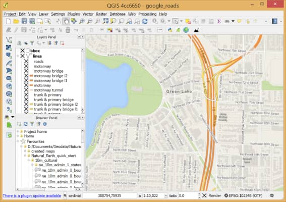
Favicon OpenStreetMap
OpenStreetMap is an open geographic database updated and maintained by a community of volunteers via open collaboration, making it a more flexible and customizable platform for those needing more control over their map data.

Related Tools

Leaflet

Leaflet is an open-source JavaScript library used to build web mapping applications. Weighing just about 42 KB of gzipped JS plus 4 KB of gzipped CSS code, it has all the mapping features most developers ever need.

QGIS

QGIS is a user-friendly open-source Geographic Information System (GIS). With QGIS, you can create, edit, visualize, analyze, and publish geospatial information. It runs on Linux, Unix, Mac OSX, Windows, and Android and supports numerous vector, raster, and database formats and functionalities.

Mapbox

Mapbox is a live location platform that easily integrates location into any mobile or online application. Mapbox provides global map data, real-time traffic, geocoding and address search, and routing and directions for navigation.

    Tool ID

    10
    ๐Ÿ“– Open Source
    ๐ŸŽ Free Tool

    Subscribe
    To Our Newsletter
    Get the Newest Free Tools in Your Inbox!
    ๐Ÿ‘ Once per month. No spam.

    Discover the internetโ€™s hidden gems

    Thousands of handpicked web projects โ€” interactive art, mini-games, clever tools, and weird experiments.

    Free โ€ข No signup โ€ข New picks daily

    Internet Intro